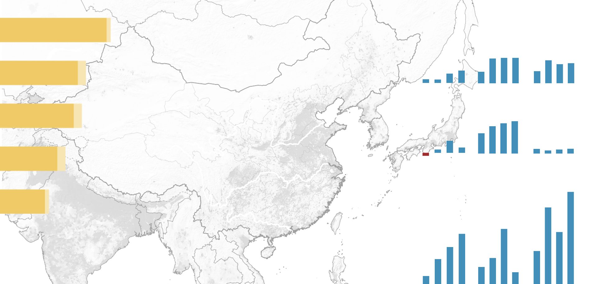
China's Central Plains region is an ideal location for an inland economic zone. Spanning several provinces along the lower reaches of the Yellow River and the North China Plain, it is flat, easily traversable, fertile and well connected to most of China's major coastal economic hubs. For centuries, Henan and other Central Plains provinces have served as key conduits connecting Beijing with cities such as Nanjing, Suzhou and Shanghai. Moreover, as the country's most important wheat and soybean producers, these provinces historically were Beijing's agricultural power bases. Finally, the region boasts an enormous and relatively young population, which means it has both a large labor force and sizable potential consumer base. The Central Plains' importance as a grain belt and transport corridor made it critical to post-1949 China. But these qualities became liabilities after Deng's "Opening and Reform" shifted the economy's focus from inland industry toward coastal, export-oriented manufacturing. Throughout the 1990s and early 2000s, Henan province struggled unsuccessfully to gain Beijing's support in modernizing its agricultural production and transforming its urban centers into more than stops on the way to somewhere else. As long as coastal manufacturing thrived, there was little incentive for investors — foreign or domestic — to look to the Central Plains.


