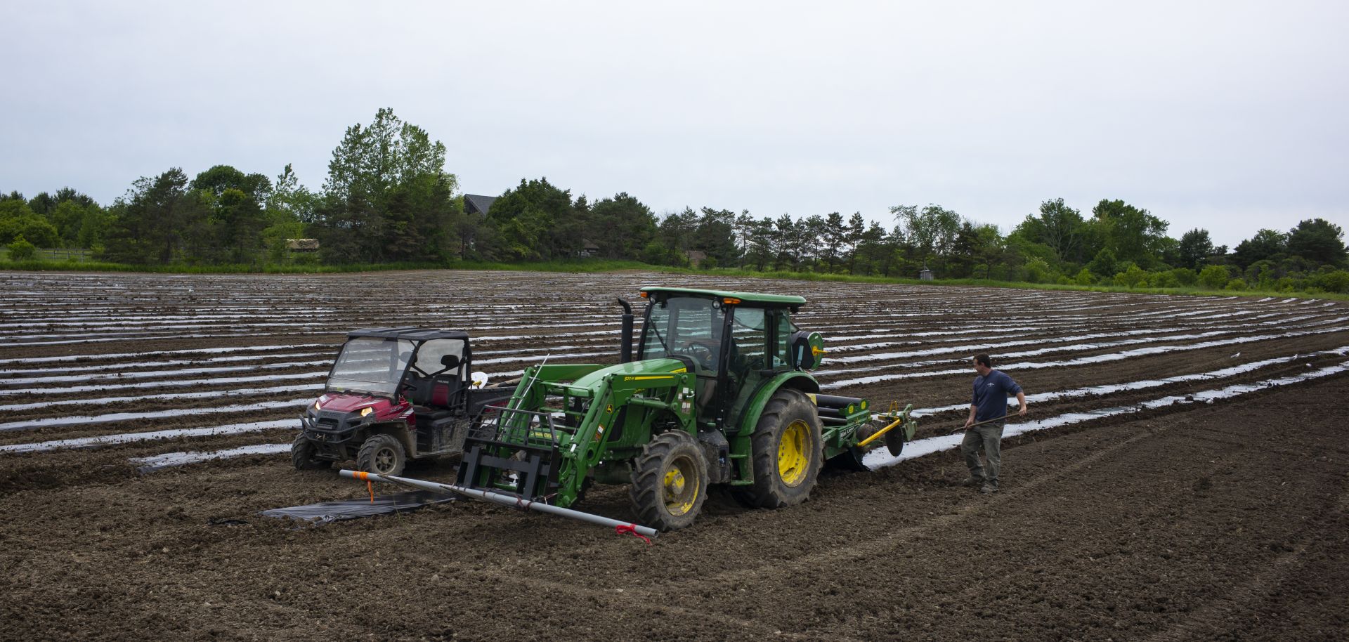
The American Midwest is the most agriculturally productive region in North America. It is located in the Greater Mississippi River Basin (much of the United States' prime agricultural lands lay within 200 kilometers of the Mississippi River), the control of which helped the United States control the Great Lakes region and facilitated its rise as a global power. But there are many other stretches of agricultural land in the United States: the Atlantic coastal plain, California's Central Valley, the Pacific Northwest, to name a few.
However, all of these other regions combined are smaller than the American Midwest, and optimizing their production poses a number of challenges. The Great Lakes are not naturally navigable, so canals must be constructed, and California's Central Valley requires irrigation. Rivers along the Atlantic coastal plain are relatively short a disconnected. Today's Graphic of the Day shows the distribution of North American cropland, the most robust of which is located along the Mississippi River and south of the Great Lakes. STRATFOR will publish its latest in a series of monographs on the geopolitics of the United States the week of Aug. 24.


