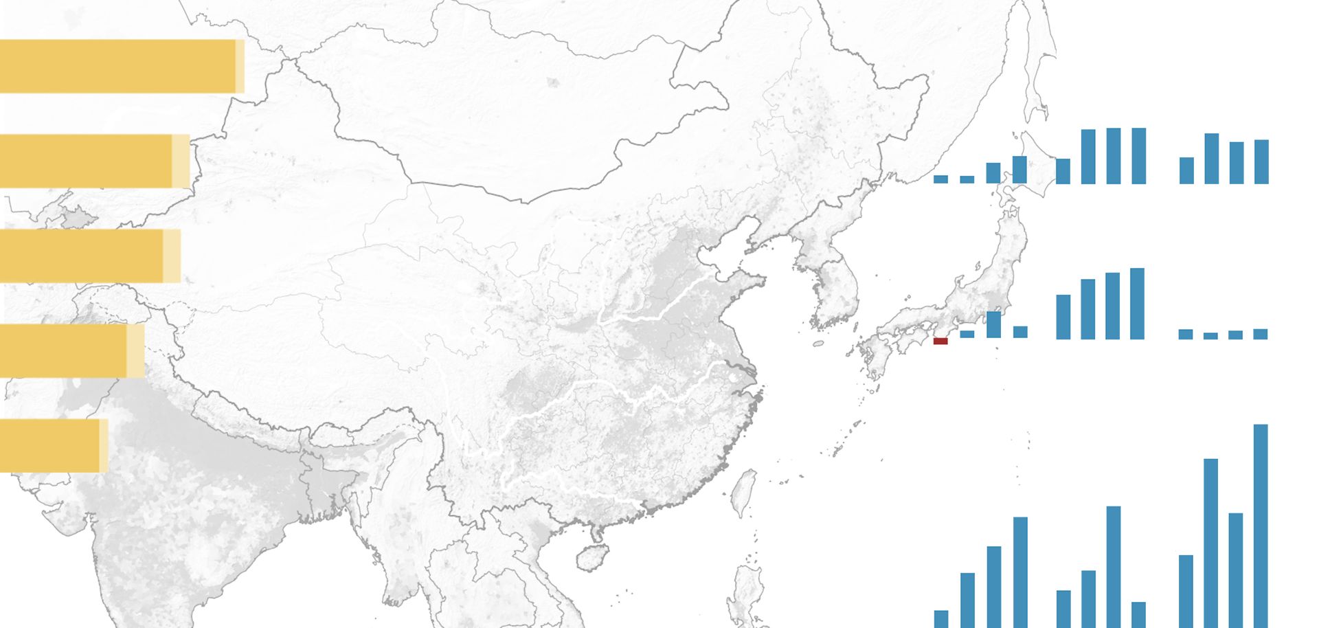
The Himalayan Mountains separate China and India and effectively prevent the two countries from making any significant military advances against each other. However, this has not eliminated tensions altogether. There are numerous territorial disputes along the mountainous Indian-Chinese border. China possesses extensive territory in northwestern India's Kashmir region in three areas: the Shaksgam Valley, Aksai Chin and Demchok. Beijing also claims a considerable amount of territory that forms the northern rim of the northeast Indian state of Arunachal Pradesh. From India's perspective, Nepal and Bhutan are buffer states situated between the northeastern and northwestern sections of the Indian-Chinese border. The mountainous state of Sikkim was a third buffer, located between the other two, and former Indian Prime Minister Indira Gandhi's government sought to fully absorb this state into India. Over the past six decades, there has been frequent clamor in India about potential threats from the Chinese People's Liberation Army (PLA) in various areas along India's northern flank. (The Indian states of Himachal Pradesh and Uttarakhand, located between Nepal and Kashmir along the border with China, are also considered vulnerable to Chinese military incursions.) In recent years, this perceived threat has led New Delhi to enhance its military defenses in relation to Beijing. Officials in the Indian state of Arunachal Pradesh occasionally will claim that the Chinese are building up their military on their side of the border, to which the Chinese issue counter-accusations. Aside from these accusations and military preparedness measures, India's border with China has remained calm for the last 50 years — except for rare and minor incidents. This is not likely to change in the foreseeable future.


