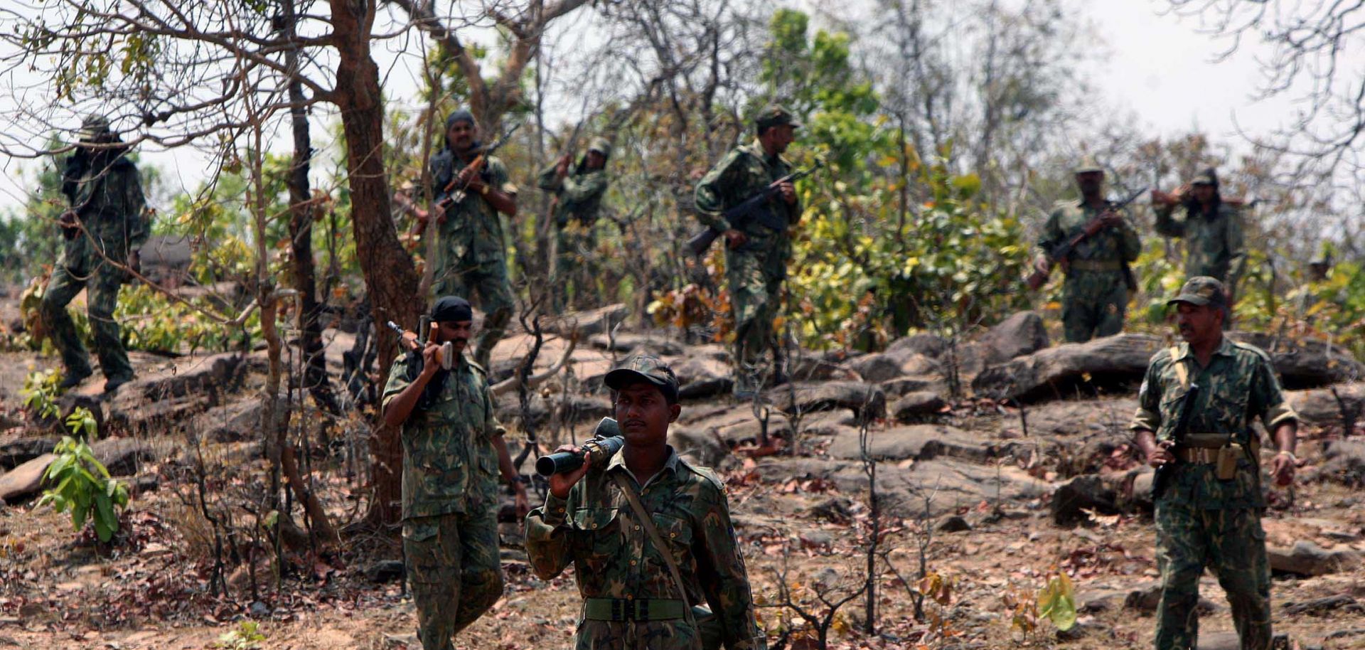

The Naxalites of India are an array of armed bands that, when combined, comprise the militant arm of the Communist Party of India-Maoist (CPI-M). Some of the most violent attacks conducted by the Naxalites have been against police transport and freight trains, killing dozens of people at a time. The Naxalites specifically inhabit an area known as the "Red Corridor," which stretches from West Bengal state southwest to Karnataka state.
The most violent states in this corridor have been Chhattisgarh, West Bengal and Orissa. The region is defined by rolling hills covered in dense forest and has few improved roads, which allows the Naxalites to control access. The dense foliage also protects them from government aircraft. This Stratfor map shows the areas in India where Naxalite militants operate.