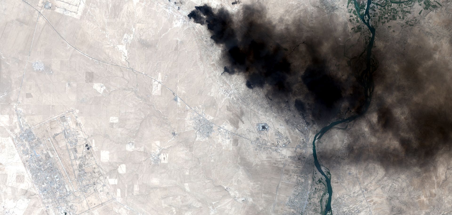
DigitalGlobe, one of the largest commercial providers of satellite imagery, launched its WorldView-4 satellite into orbit last week, adding to the growing constellation of satellites circling the Earth. Thanks to these satellites, we have gotten accustomed to having vast amounts of imagery at our fingertips. From online mapping services like Google Maps to browsable databases like Microsoft's TerraServer, the widespread availability of aerial photographs has become the new norm.
But commercial satellite imagery was never intended to serve media outlets or households alone. Instead, the industry was largely built with one set of customers in mind: government intelligence agencies. Even now, the imagery that frequently makes its way to consumers in the private sector is still gathered with an eye toward intelligence requirements. In all likelihood this emphasis will not change much in the coming years, even as states' own collection capabilities continue to improve....

