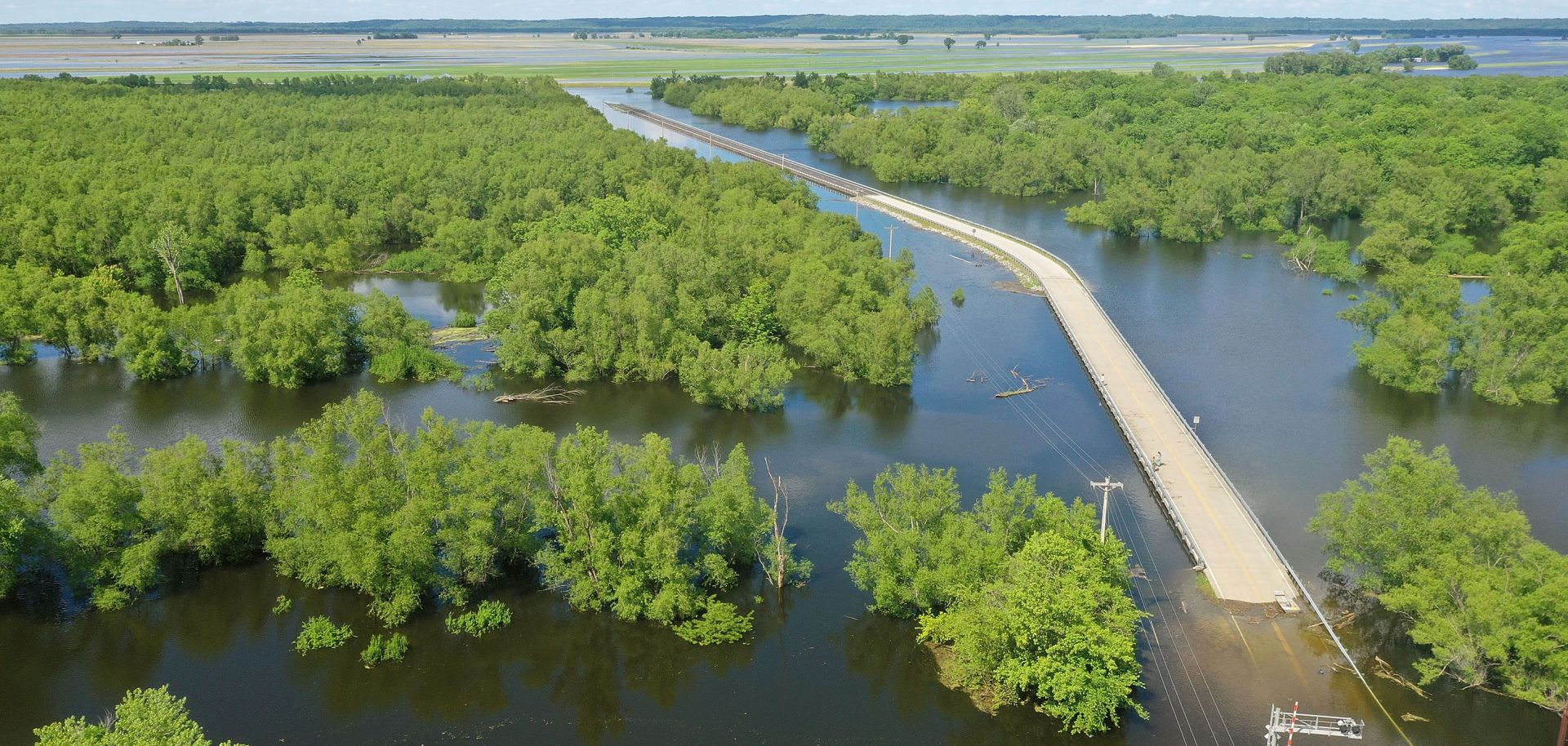
The most distinctive and important feature of North America is the river network in the middle third of the continent. The network consists of six distinct river systems: the Missouri, Arkansas, Red, Ohio, Tennessee and Mississippi. The unified nature of this system greatly enhances the region’s usefulness and potential economic and political power. First, shipping goods via water is an order of magnitude cheaper than shipping them via land. This simple fact makes countries with robust maritime transport options extremely capital rich when compared to countries limited to land-only options.
Second, the watershed of the Greater Mississippi Basin largely overlays North America’s arable lands. Normally, agricultural areas as large as the American Midwest are underutilized as the cost of shipping their output to more densely populated regions cuts deeply into the economics of agriculture. Not so in the case of the Greater Mississippi Basin. The vast bulk of the prime agricultural lands are within 200 kilometers of a stretch of navigable river, allowing for the entirety of the basin’s farmers to easily and cheaply ship their products to markets not just in North America but all over the world. Third, the river network’s unity greatly eases the issue of political integration. All of the peoples of the basin are part of the same economic system, ensuring constant contact and common interests.


