GLOBAL PERSPECTIVES

Redrawing the Map in the Information Age

Sep 16, 2015 | 08:00 GMT
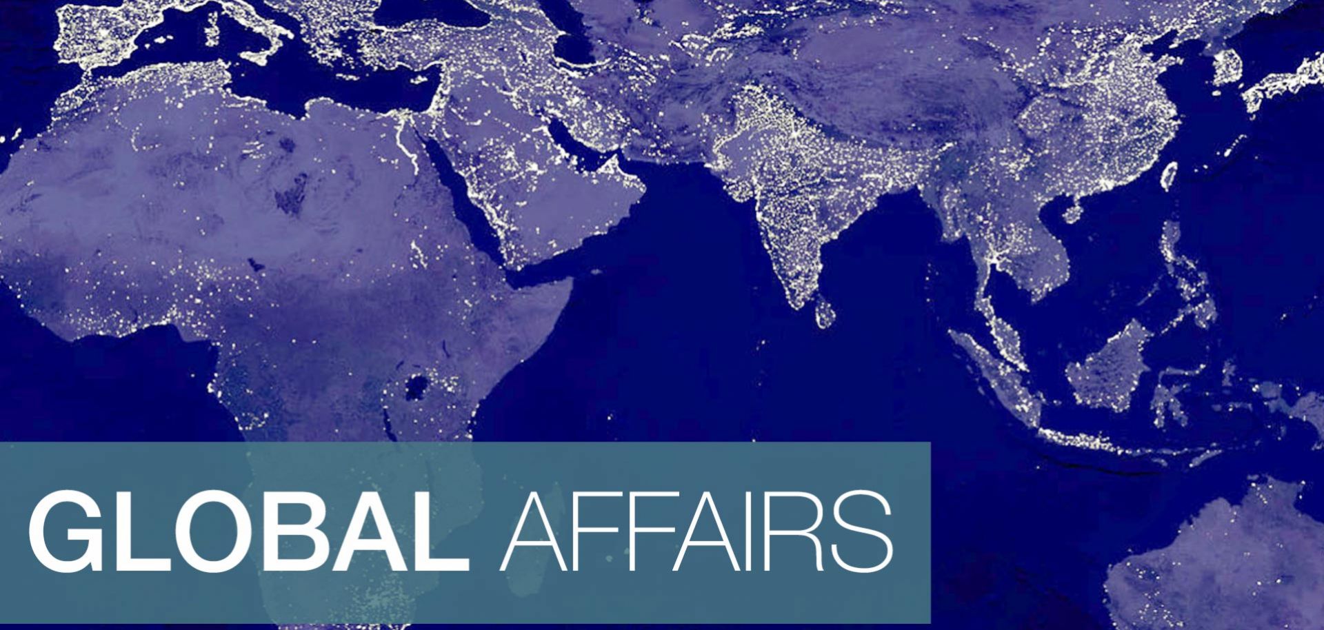
An image of Earth's city lights created with data from the Defense Meteorological Satellite Program.

(NASA/Newsmakers)

Maps based on flows of information, not borders, may be more reflective of our current geopolitical reality. ...

Keep Reading

Register to read three free articles

Proceed to sign up

Register Now

Already have an account?

Sign In