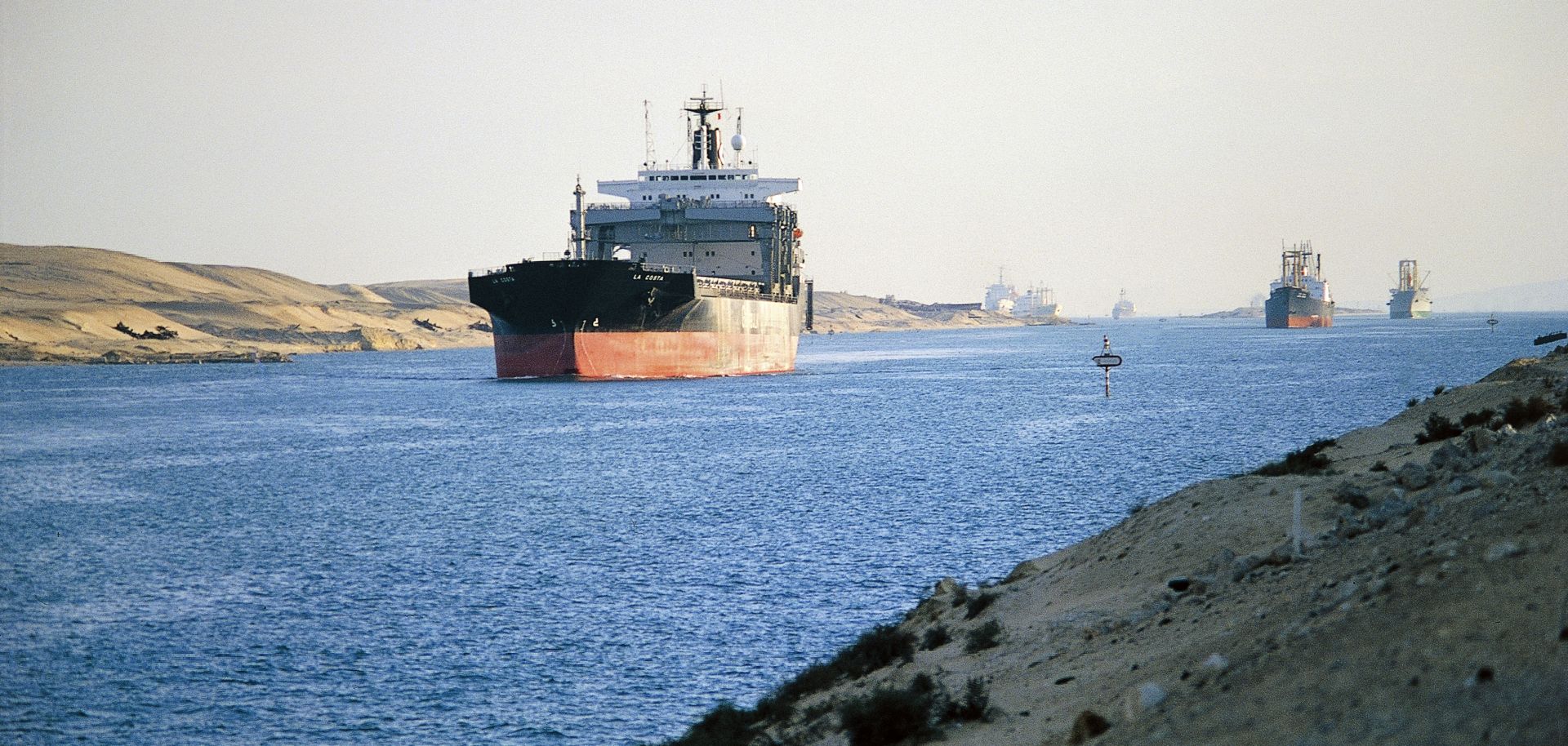
Sri Lanka's strategic position makes it vital to securing major sea-lanes in the Indian Ocean. To the south, the island's coast fronts the greater Indian Ocean, and to the north it opens to the Indian Ocean's marginal seas: the Arabian Sea, Gulf of Mannar, Palk Bay and the Bay of Bengal. The island sits approximately halfway between the Suez and the Strait of Malacca, the key maritime choke points to the east and west, and along routes from the Strait of Hormuz, which most of Asia's energy supplies transit. In addition to energy, the sea-lanes surrounding Sri Lanka are also the main route for any other goods being shipped through the Suez Canal. Typically, raw materials will be shipped to Asia via the Suez along these routes, and then finished goods such as garments, electronics and footwear are shipped back.
Sri Lanka has a number of natural harbors along its coast: Colombo and Galle in the southwest, Hambantota in the southeast, Trincomalee in the east and Jaffna in the north. A string of islands blocks large ships from passing through Palk Bay, preventing India's southern coast from becoming more than a regional shipping hub and making Sri Lanka's ports the stopover point for international routes. Consequently, gaining a foothold in Sri Lanka is critical for any power wishing to secure Indian Ocean routes to the east and west. Likewise, losing influence in Sri Lanka can mean the loss of control of these sea-lanes and of vital energy resources and basic trade.


