ASSESSMENTS

Understanding East Africa's Power Politics, One Core at a Time

May 16, 2018 | 09:30 GMT

A photograph shows a village below a prominent hill in the Semien Mountains near Gondar, Ethiopia.

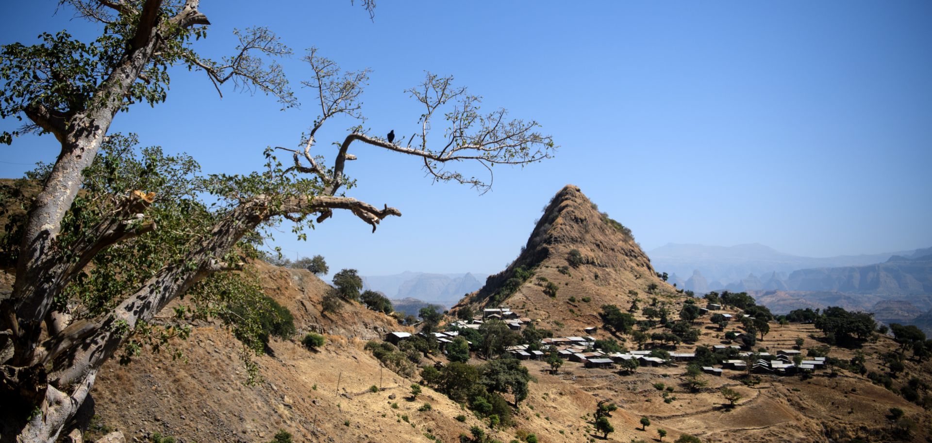
A village near Gondar, Ethiopia, sits below a prominent hill in the Semien Mountains on Jan. 20, 2017. Publisher Lonely Planet recently ranked Ethiopia among the top 10 world tourist destinations for 2017.

(CARL COURT/Getty Images)

Highlights

  • East Africa's power cores play a pivotal role in determining the projection of power throughout the region.
  • Each of these power cores is beset by its own internal challenges, which sometimes restrict each region's ability to act as a cohesive unit or exert influence further afield.
  • The spaces in between the power cores, particularly Greater Somalia, provide a battleground for influence.

Like any geographic space, sub-Saharan Africa is governed by underlying factors that guide its direction and account for its actions, both at home and abroad. Political maps -- those that demarcate state borders -- rarely tell the full story, because they frequently fail to reflect the true power relationships beneath the surface. So how can one make sense of what's happening in a place when the often artificial lines on the map fail to explain what's going on? One way to assess the underlying power structures on the continent is to examine the region's power cores -- population areas that form entities much larger than a city and don't conform to state boundaries. Sometimes they are smaller than national frontiers; sometimes they are much larger. It is these power cores that can give these political borders meaning, by demonstrating either the extent of power projection or the geographic limits of...

Keep Reading

Register to read three free articles

Proceed to sign up

Register Now

Already have an account?

Sign In