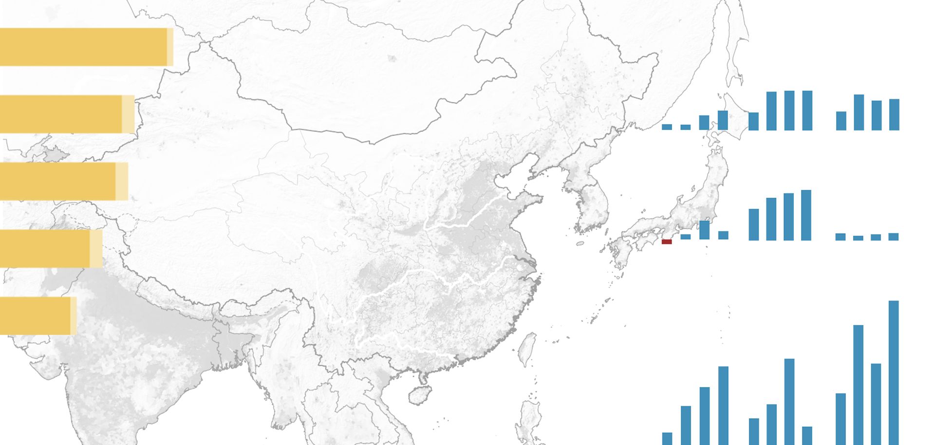
With the establishment of communist regimes in China and North Korea, the United States in January 1950 adopted what then-U.S. Secretary of State Dean Acheson referred to as a "defense perimeter" or containment line. The containment line as originally envisaged ran along the Aleutians to the Japanese home islands and then proceeded to the Ryukyu Islands and then south to the Philippines. This containment line was primarily maritime in nature, with significant U.S. land and air forces present in Japan and the Philippines. Although both South Korea and Vietnam were beyond the containment line, the United States fought wars of containment against communist forces in both countries.


